 |
 |
The management, data capture and analysis of multispectral imagery for the purpose of assisting with precision farming techniques. Multispectral imagery includes Near Infrared, Red, Green and Blue spectral wavelengths.
This involves all aspects of project management, data capture, data transformation, data analysis and data integration.
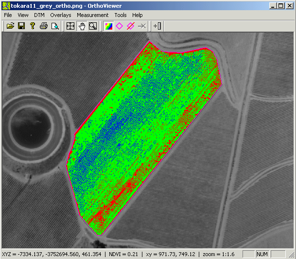
Multispectral image analysis delivers a range of vegetation indices (e.g. NDVI, PCD, SAVI, etc.) which are able to assist in harvest and farm management strategies for all agricultural sectors, including:
- wine and table grape farmers
- citrus farmers
- deciduous fruit farmers
- broad acre farmers
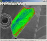
To assist is the analysis of multispectral imagery we have developed orthoviewer, which allows for digital orthophoto viewing, vegetation index calculation, index classification and presentation.
|
|
|