 |
 |
We have numerous in-house software code for photogrammetric and surveying applications and we are constantly adding to our collection. We currently offer the following software services:
- Software development in C and C++
- Sale of customized software libraries
- Processing of client's measurement data using our software
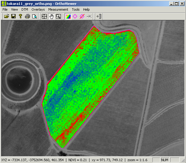
We have completed the initial release version of orthoviewer, our multispectral image analysis software:
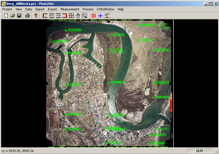
Our photogrammetric mapping software PhotoNet is currently under development. Features so far include:
- Interior Orientation
- Bundle Adjustment
- Multiphoto Geometrically Constrained Image Correlation
- Digital Orthophoto Generation
- Orthophoto Mosaic
|
|
|