 |
 |
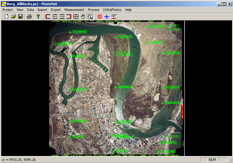
We are currently busy with development of PhotoNet, a digital photogrammetric mapping software for use with both aerial and close-range photogrammetric projects.
PhotoNet currently has the following features completed or in final testing:
- Interior Orientation
- Bundle Adjustment
- Multiphoto Geometrically Constrained Image Correlation
- Digital Orthophoto Generation
- Orthophoto Mosaic
We also have import and export functions for VirtuoZo, USmart and PAT-B formats as well as ASCII DTM data.
Planned future developments include:
- Stereo Digitizing
- Interactive Stereo DTM Editing
- Contour Generation
- Support for ESRI SHP and DXF file formats
- Increased Automation
- Improvements to the Existing Image Correlation Algorithm
|
|
|